PannonRIS–NAVINFO
Up-to-date navigation information, simpler electronic administration and continuous operational background on the Danube. PannonRIS–NAVINFO is RSOE’s river information service of national importance, operated under a state mandate.

Up-to-date information for safer navigation on the Danube.
PannonRIS–NAVINFO supports the safety of Danube navigation and the work of competent organisations with up-to-date navigation information and a 24-hour daily service. The purpose of the system is to provide skippers, authorities and cooperating organisations with a reliable, quickly accessible and easy-to-use information background.
Navigation information in one place
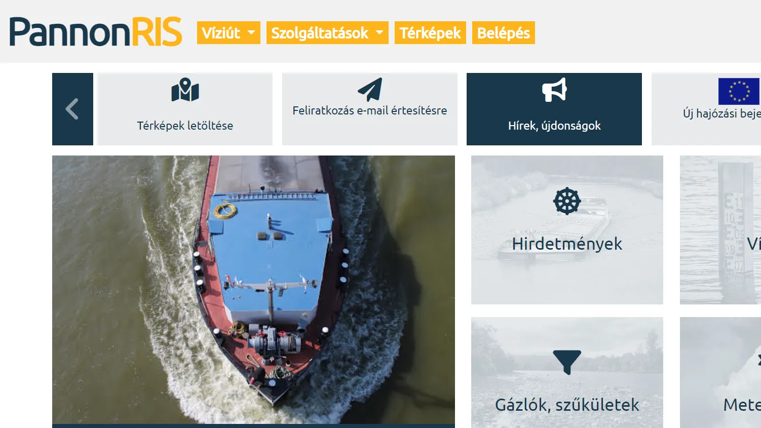
The publicly and freely available online interface brings together the most important data needed for safe route planning and navigation.
Waterway and traffic data
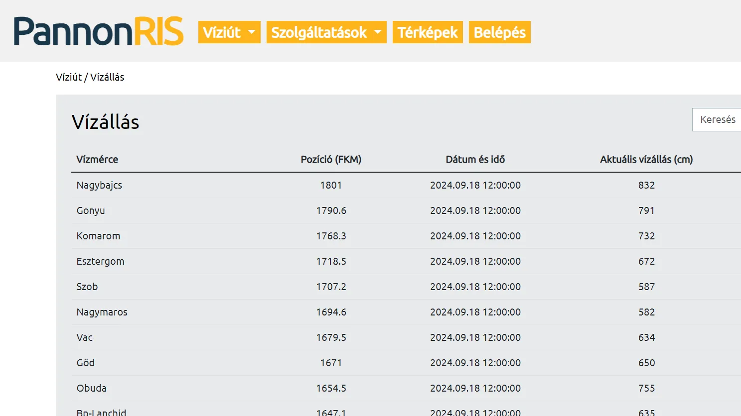
Water levels, shallow sections, narrow passages and navigation restrictions in a clear and up-to-date format.
Meteorological information
Meteorological data, ice reports and bridge clearance information to support safe navigation.
Notices and maps
Notices to skippers, port information and freely available electronic navigation maps.
Simpler reporting and regulated data forwarding.
Registered professional skippers may submit certain reports and declarations electronically, including PAXLIST passenger lists. The system provides feedback on acceptance and supports the regulated forwarding of data to the competent organisations.
Electronic submission
The skipper can fulfil reporting obligations through the PannonRIS online interface or application.
Acceptance feedback
The system provides feedback on the acceptance of submitted reports and declarations.
Data forwarding
The necessary information reaches the competent organisations in a regulated manner.